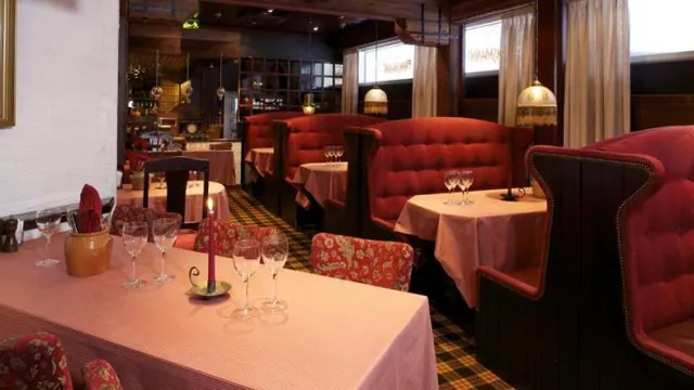
Photo Gallery


Overview
Experience hospitality at ibis coleraine riverside hotel, your ideal choice for hotels in northern ireland. discover comfort in ireland's charming town of coleraine.
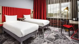
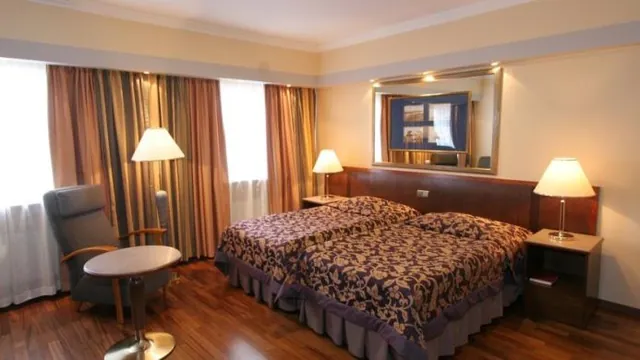
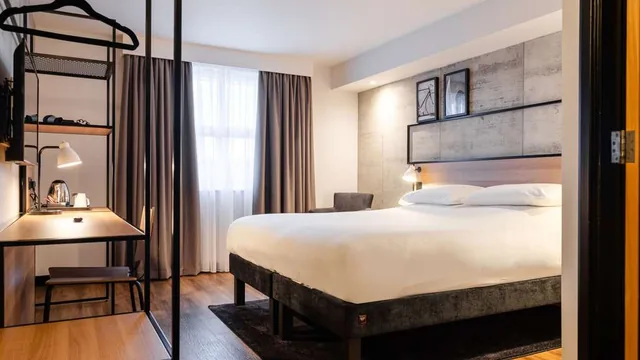
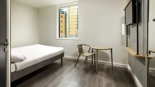
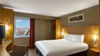
Rooms & Suites
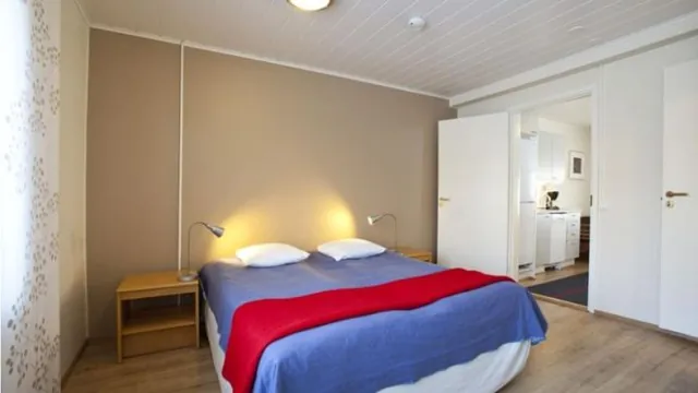
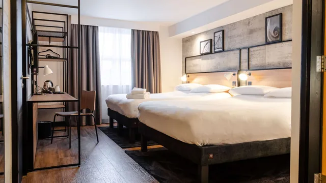
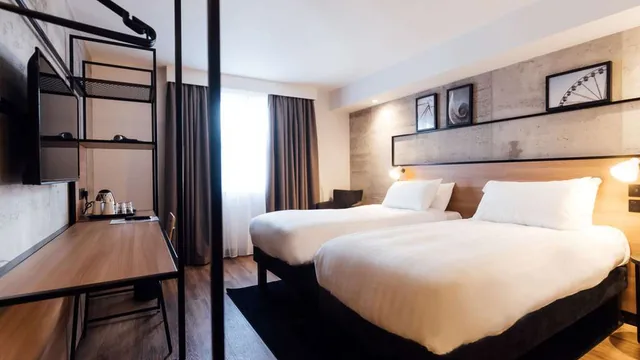
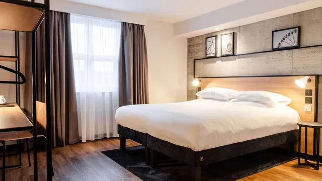
Standard room with 1 double bed | standard room with 1 double bed and 2 single beds | standard room with 2 single beds | accessible twin room
Explore Nearby
- Mount Sandel Fort 984 m
- Coleraine Museum 1.25 km
- Ecology 1.29 km
- Coleraine Registrars District 1.95 km
- Coleraine Parish 2.24 km
- Killowen Parish 2.34 km
- Motte and Bailey 3.14 km
- Fish Loughan Mound 3.67 km
- Camus Juxta Bann Parish 3.78 km
- Damhead Miniature Railway 5.15 km
- Dunboe House 5.50 km
- The ruins of the original Agherton Church Of Ireland Church 5.80 km
- Articlave Registrars District 6.07 km
- Cromore Gatehouse 6.26 km
- Ballyrashane Parish 6.42 km
- Tubber Patrick 6.47 km
- Aghadowey Registrars District 6.55 km
- North Coast Alpacas 6.73 km
- Fisherman's Cottage 7.05 km
- Rath 7.10 km
- Dunboe Parish 7.33 km
- Ballwillan Parish 7.56 km
- Rath 7.63 km
- Harbour Hill 7.98 km
No mosques found within the selected radius.
No food found within the selected radius.
- Riverside Retail Park 178 m
- TK Maxx 1.16 km
- Diamond Centre 1.17 km
- Moores 1.24 km
- Indoor Market 1.65 km
- The White House 9.71 km
- Castlecroft Square 11.78 km
No embassies found within the selected radius.
- Coleraine 1.72 km
- University 3.33 km
- Damhead Miniature Railway 5.16 km
- Dhu Varren 8.44 km
- Castlerock 8.57 km
- Portrush 9.27 km
- Ballymoney 12.02 km
- Bushmills 13.43 km
- Giant's Causeway 15.88 km
- Bellarena 17.43 km
- Frazer Foyle Holdings Ltd 19.85 km
- Lough Foyle Ferry Company 21.55 km
- Rathlin Island Ferry Booking Office & Terminal 29.30 km
Availability & Booking
Nights: 0
Selected
Booked
Key Facts
- Check-in15:00
- Check-out11:00
- Phone
- Stars—
-
ManagerCiara Sinclair
Prayer Times
- Fajr03:08
- Sunrise04:51
- Dhuhr13:25
- Asr19:08
- Maghrib22:00
- Isha23:43
Weather & Air
11.9°C
Clear • Coleraine
AQI (PM2.5)
0 • Good
PM2.5: 0.0 μg/m³
Ibis Hotels


Partner Spotlight
Showcase your brand to premium Muslim travelers. Branded content, sponsored collections, and co-marketing are available.
Become a Sponsor