Mount Ciremai National Park
From Halal Explorer
Mount Ciremai National Park is centred on the Ciremai (or Ceremai, Cereme) volcano in the East Parahyangan region of Western Java, Indonesia.
Contents
History
Although the mountain and surrounding area were already designated as protected forest area, only since 2004 it is a national park.
How is the Landscape of Mount Ciremai National Park
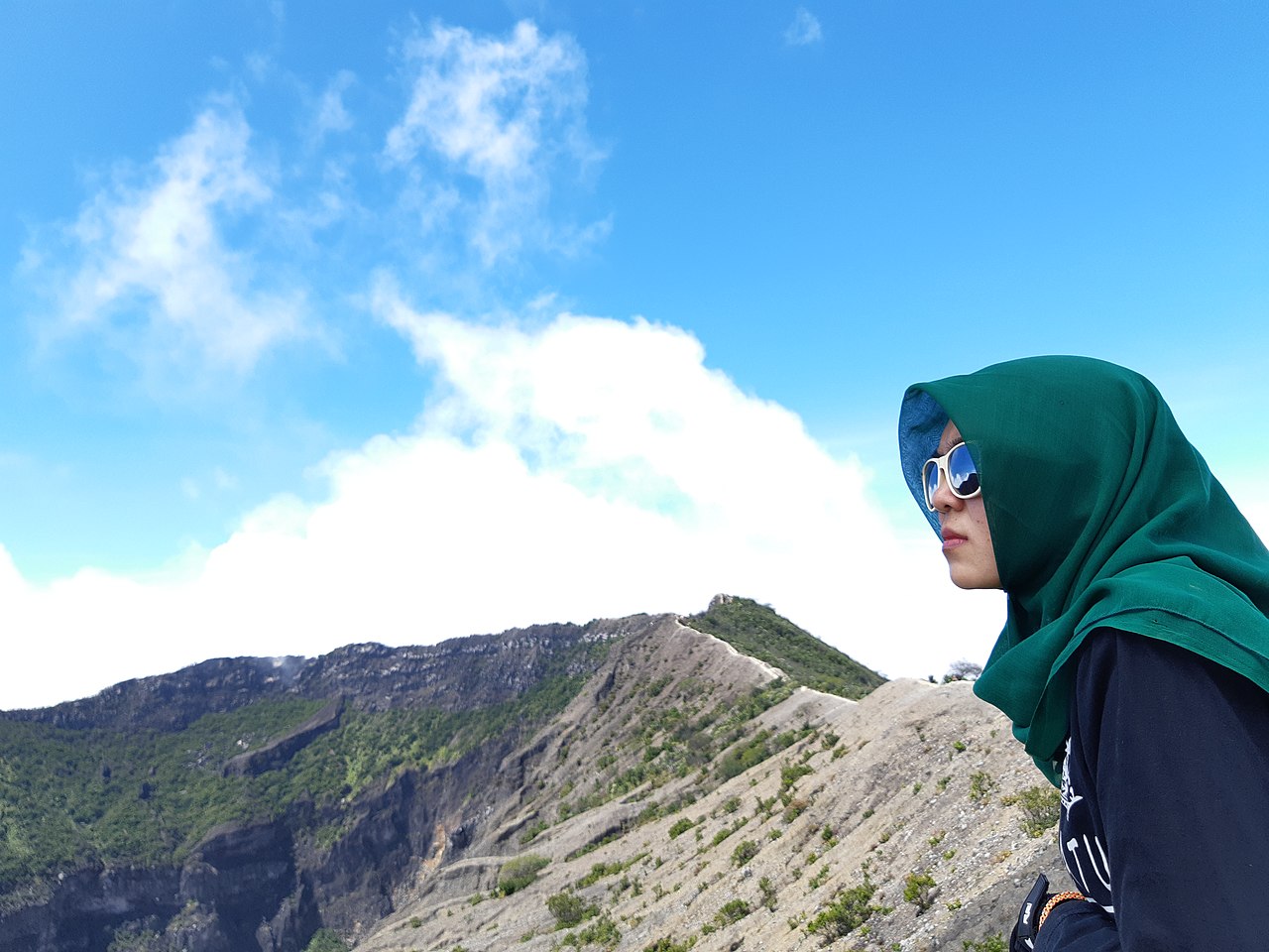
Mount Ciremai is a symmetrical stratovolcano, with a caldera with a diameter of about 5 kilometers at the summit. The latest volcanic eruption took place in 1937. With an altitude of 3,078 m, it is the highest mountain of Western Java, and with a prominence of 2,792 m the mountain dominates the wider surroundings, as there are no high mountains nearby.
Flora and fauna
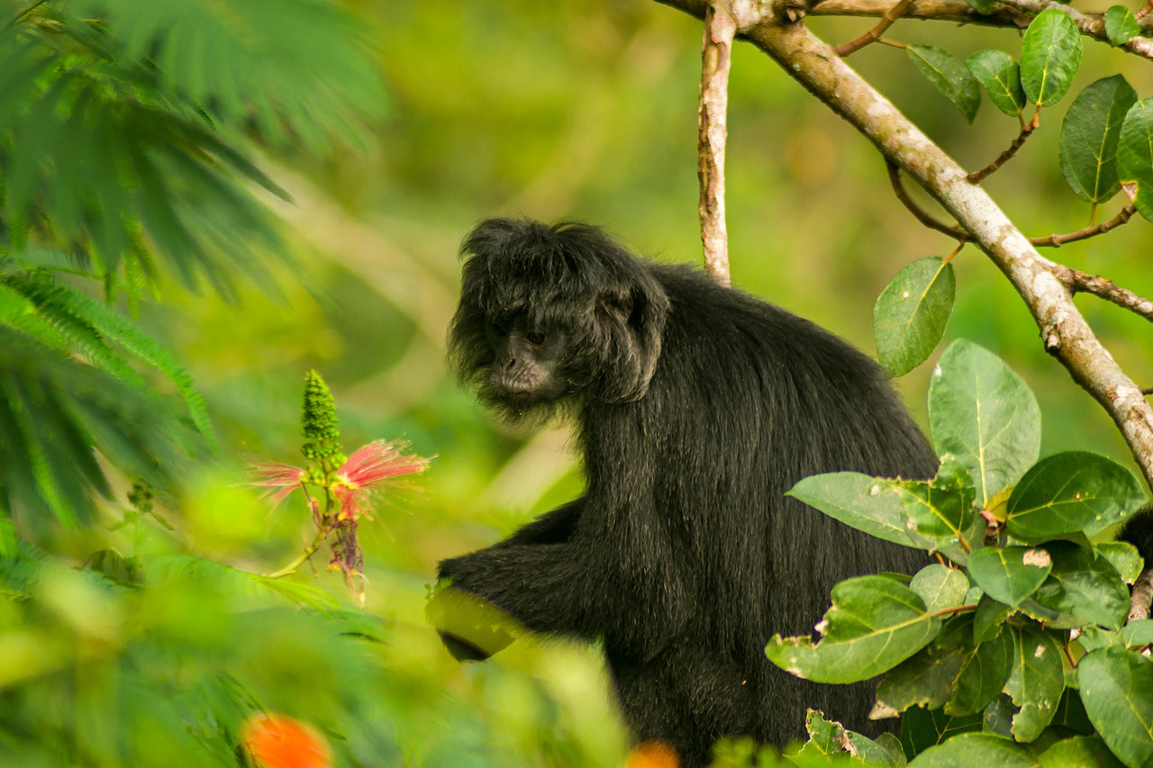
Typical vegetation include the Sumatra pine and Javan chestnut-oak. In the national park, you can find leopards, barking deer, and several types of pythons, as well as the endangered Javan surili monkey and Javan hawk-eagle.
How is the Climate in Mount Ciremai National Park
Just as the surrounding regions on Java island and the national park experiences a tropic monsoon climate. On higher altitudes it is of course much cooler than in the lowlands, with temperatures near the summit usually 18-22°C.
Travel to Mount Ciremai National Park
The national park is about 30 kilometers southwest of the city of Cirebon. The nearest airport is in Bandung, but from the larger airport of Jakarta it is also relatively easy to reach the national park, because almost the entire route (until Cirebon) has tolled motorways. Cirebon can also be reached by train or bus, or take a bus to Kuningan (on the eastern side) or Majalengka (on the western side).
The mountain can be climbed from three sides.
- East - the eastern trail starts at the village of Linggajati, with the trailhead about 2 kilometers west of the village at Pos Cibunar Linggajati GPS -6.88351,108.457046}}.
- Southeast - the trail starts in the village of Palutungan, near the town of Kuningan, at Pos Palutungan GPS -6.94707,108.43337}}.
- West - starting in the village of Apuy, about 20 kilometers from the town of Majalengka, at Pos Apuy GPS -6.91131,108.35693}}.
Fees and permits
A fee must be paid to enter the national park and climb the volcano. Buying the permit is feasible at the three points of entrance (pos pendakian or 'climbing post'). The tariff is roughly Rp70,000.
News & References Mount Ciremai National Park
Travel Next
- Linggajati — the village on the eastern side of the park is commonly called the location of Linggadjati Agreement of 1946 (now a museum).
- Cirebon — the 'city of shrimps' on the Java Sea coast is the nearest major city.
- Kuningan and Majalengka are other nearby towns with facilities such as shopping centres, hotels, and restaurants.
Copyright 2015 - 2024. All Rights reserved by eHalal Group Co., Ltd.
To Advertise or sponsor this Travel Guide, please visit our Media Kit and Advertising Rates.


